Extensive Lead Soil Investigation and Remediation
Tackling elevated lead concentrations impeding planned wetland improvement for north Texas municipality.
Modern Geosciences was asked to complete assessment on over 250 acres of a planned wetland improvement for this North Texas municipality. The U.S. Army Corps of Engineers (USACE) was planning extensive floodplain improvements and encountered elevated lead concentrations near two former lead smelting operations. Before construction could continue, the municipality had to remove lead-impacted soil to allow the remainder of the project to continue.
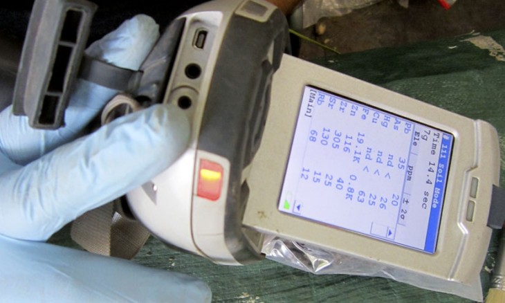
Modern reviewed prior data collected in the area and began a large geospatial database that allowed high-resolution data processing. Modern then worked with the TCEQ on methodology to increase XRF field sampling techniques for lead. This resulted in the collection of over 2,000 data points within the wetland cells and clear identification of TRRP PCLE Zones laterally and vertically. Modern then developed a large scale Soil Management Plan that was approved by the TCEQ and included soil treatability demonstrations, XRF confirmation sampling procedures, waste classification criteria, and survey monument specifications. This was utilized as the basis for a multi-million dollar bid solicitation and remedial action to jump-start the USACE infrastructure improvement project.
Category
Brownfield Redevelopment Commercial Real Estate Environmental Due Dilligence Government Infrastructure Monitoring Remediation Risk Based Corrective Action Waste Management


